Detached Garage Builder in Wilsall, MT
Wilsall is the one small community around here with published site-specific geology. The townsite sits on Fort Union bedrock with clay content up to 40 percent, and the water table is 62 to 63 feet down.
No obligation. Every estimate starts with a walkthrough of the lot, the access and where the building can actually sit.
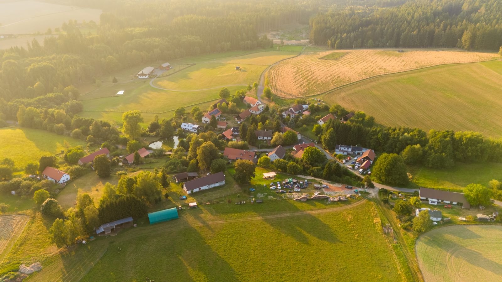 Wilsall, Montana
Building here
What Wilsall is actually like to build in
Frost depth follows the City of Bozeman published requirement, which we treat as the regional standard because the ground freezes the same depth on either side of a jurisdiction line.
Wilsall is a census-designated place of 197 people in the upper Shields River valley, about 29 miles northeast of Bozeman at the foot of the Crazy Mountains. Montana DEQ puts the townsite at 5,060 to 5,100 feet, roughly 60 to 80 feet above the Shields Valley floor.
It is a small place, and this page is short accordingly. What makes it worth writing at all is that Wilsall has better published ground data than towns twenty times its size, courtesy of a DEQ source water assessment.
The townsite sits on Fort Union Formation bedrock rather than alluvium: alternating beds of conglomerate and sandstone with significant siltstone and mudstone, where the sandstone is fine grained, relatively soft, and the clay content reaches up to 40 percent. That is a meaningfully different foundation condition from the clean valley gravel most of our work sits on. High clay content brings frost heave and shrink-swell potential into the conversation, and it makes a soils check on the bench worth doing rather than optional.
The valley-bottom parcels are different again: alluvial gravels on the order of 20 to 30 feet thick, with shallower groundwater than the bench. Static water level at the town wells is 62 to 63 feet below land surface, which is deep.
The climate is severe. The record low is minus 42 degrees Fahrenheit with about 15.45 inches of annual precipitation. The nearest snow load station, Wilsall 8 ENE, reads 51.7 psf, but it sits 8 miles east-northeast and about 750 feet higher than town, so a townsite value will be lower.
Local conditions
What shapes a garage project in Wilsall
Bedrock with high clay
The townsite is on Fort Union Formation bedrock with clay content up to 40 percent, not clean gravel. Frost heave and shrink-swell are real considerations and a soils check is worth the cost.
Bench and valley bottom
Bench parcels sit on weathered bedrock. Valley-bottom parcels sit on 20 to 30 feet of alluvial gravel with shallower groundwater. They are not the same build.
Read the station carefully
Wilsall 8 ENE reads 51.7 psf, but that station is 8 miles away and about 750 feet higher than the town. Using it directly for a townsite build overstates the load.
What we build
Buildings we put up in and around Wilsall
Each of these raises a different structural and permit question. The pages below cover what is involved rather than repeating the same paragraph with the building name swapped.
Detached Garages
Two, three and four-car detached garages built on their own footings, sized to the lot and the setbacks rather than to a catalogue.
What is involved →Shops & Workshops
Heated, insulated working buildings with the ceiling height, power and floor drainage that real work needs.
What is involved →RV Garages
Tall-door buildings sized around the vehicle you actually own, with the door height and approach worked out before framing.
What is involved →Garage With Loft
Storage or bonus space over the bays. A different roof, a different stair and a different structure from a single-storey build.
What is involved →Garage Apartment (ADU)
A dwelling above the garage. Different permit path, different code, and the one build here where the rules changed recently.
What is involved →Pole Barn Garages
Post-frame buildings for larger clear spans on acreage, where a stick-framed garage costs more than it needs to.
What is involved →Garage Slabs & Concrete
Footings, frost walls, slabs and aprons. The part of the build that is impossible to fix later.
What is involved →Garage Demolition & Rebuild
Taking down a failing garage and rebuilding on the same footprint, including what to do about the old slab.
What is involved →Before design
The Wilsall checklist
Five things we establish on a Wilsall property before drawing anything. Most of them cost nothing to check and a great deal to get wrong.
- Whether the building pad is on bench bedrock or valley-bottom alluvium, because they behave very differently.
- Clay content at footing depth, given documented values up to 40 percent in the local bedrock.
- Wind exposure in the Shields Valley regime, which affects uplift and the overhead door.
- Site snow load by coordinates rather than the Wilsall 8 ENE station figure, which is higher and further east.
- Septic permitting through the Park County Health Department on unserviced parcels.
Nothing on this page is a code determination. Codes, fee schedules and zoning change, and Bozeman replaced its entire development code effective 1 February 2026 as a reminder of how fast that happens. We verify every figure against the current regulation for your specific parcel before design, and you should confirm anything you intend to rely on with the authority that administers it.
Questions
Building a garage in Wilsall
What are the soils like for a foundation in Wilsall?
Better documented than most places this size. The townsite sits on Fort Union Formation bedrock, alternating conglomerate and sandstone with significant siltstone and mudstone, where the sandstone is relatively soft and clay content reaches up to 40 percent.
High clay means frost heave and shrink-swell potential. On the valley bottom the picture changes to 20 to 30 feet of alluvial gravel. A soils check is worth doing here.
Is the water table shallow?
Not at the townsite. Static water level at the town wells is 62 to 63 feet below land surface, which is deep and favourable for excavation.
Valley-bottom parcels near the Shields River will be shallower, so it is worth checking rather than assuming the town figure applies to your ground.
What snow load applies?
Read the station data carefully here. Wilsall 8 ENE records 51.7 psf, but it sits 8 miles east-northeast of the town and about 750 feet higher, so a townsite value will be lower than that.
This is a good example of why we pull a value by coordinates rather than taking the nearest station name at face value.
Do I need a permit in Wilsall?
Wilsall is unincorporated, so there is no town permit. Park County does not run a county-wide building code and is not a certified jurisdiction, so the state has authority and a private garage for the owner's own use is exempt.
Most of rural Park County is unzoned, with only a handful of citizen-initiated districts countywide. Septic goes through the Park County Health Department.
How cold does it actually get?
The record low for Wilsall is minus 42 degrees Fahrenheit. Annual precipitation is about 15.45 inches.
For a building that matters in two ways: any heated shop needs a genuinely well-detailed envelope, and concrete scheduling has a narrower window than it does in the Gallatin Valley.
Nearby
Other areas we cover
Next step
Get a range for your Wilsall property
Send the address and a rough idea of the building. We come back with what the ground and the jurisdiction allow, and what it is likely to cost.