Detached Garage Builder in Hyalite and South Bozeman, MT
Two things share this name. Hyalite Canyon itself is national forest with essentially no private building ground. The Hyalite zoning district south of Bozeman is a 4,000 acre rural residential area, and that is where people actually build.
No obligation. Every estimate starts with a walkthrough of the lot, the access and where the building can actually sit.
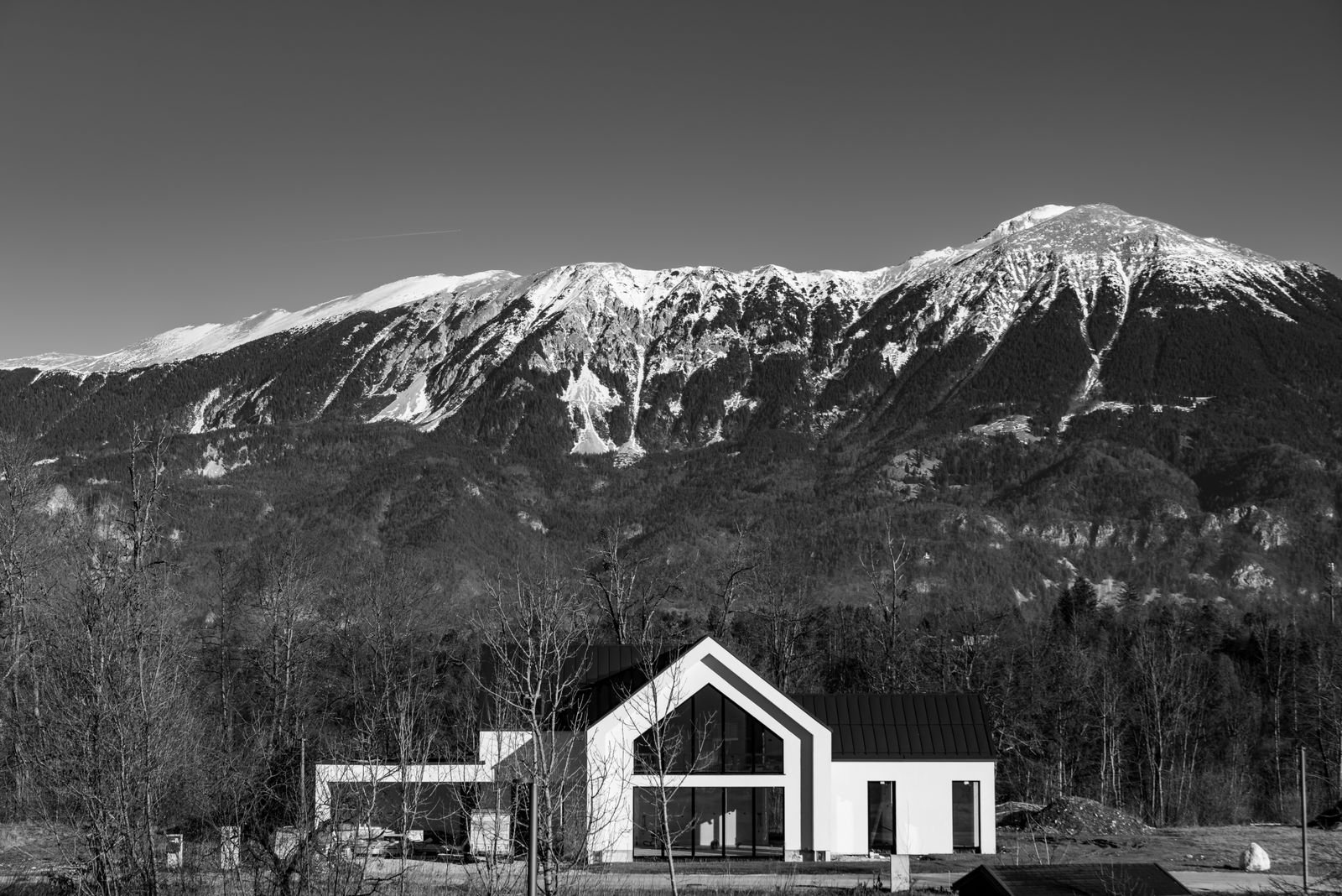 Hyalite and South Bozeman, Montana
Building here
What Hyalite and South Bozeman is actually like to build in
Frost depth follows the City of Bozeman published requirement, which we treat as the regional standard because the ground freezes the same depth on either side of a jurisdiction line.
It is worth separating these clearly, because the confusion causes wasted phone calls. Hyalite Canyon proper is Custer Gallatin National Forest, the most heavily visited Forest Service area in Montana, and the source of most of Bozeman's municipal water. There is essentially no private residential building land in the canyon itself.
The Hyalite zoning district is a different thing: a Gallatin County zoning district roughly two miles south of Bozeman covering about 6.25 square miles, or around 4,000 acres, of rural residential ground with a 5 acre minimum lot size for new subdivisions. Around 2,320 acres of it remains in active agriculture. Commercial uses, schools, churches and industry are prohibited. That is where a detached garage or shop gets built, and it is what this page is about.
The district plan flags three physical constraints worth knowing: floodplain, a concealed fault, and slopes over 15 percent, which the plan discourages building on. Elevation rises steadily toward the canyon mouth, and so does snow load. The Bozeman MSU station at 4,913 feet reads 42.3 psf; the Bozeman 12 NE station at 5,950 feet reads 95.7 psf. A parcel at the mouth of Hyalite is meaningfully heavier than a valley-floor Bozeman lot a few miles north.
Wildfire is the other factor. The Gallatin County wildfire plan identifies Hyalite Canyon among the areas with the highest potential fire intensity, and the local fire district covering Middle Creek and the mouths of Hyalite, Leverich and Sourdough canyons is 100 percent wildland urban interface across its 29,366 acres. The 2012 Millie Fire threatened the reservoir and Bozeman's water source.
Local conditions
What shapes a garage project in Hyalite and South Bozeman
A land use permit is required
Hyalite is one of Gallatin County's zoning districts. A land use permit is required before most structures are built. Setback, height and accessory building figures should be confirmed against the current regulation for the parcel.
Climbs toward the canyon
From 42.3 psf at the Bozeman MSU station at 4,913 feet to 95.7 psf at 5,950 feet. On this slope the site value is worth pulling precisely, because it changes the roof structure.
100 percent WUI
The local fire district's 29,366 acres are entirely wildland urban interface, and the county wildfire plan flags this area for high potential fire intensity. Materials and defensible space are design inputs.
What we build
Buildings we put up in and around Hyalite and South Bozeman
Each of these raises a different structural and permit question. The pages below cover what is involved rather than repeating the same paragraph with the building name swapped.
Detached Garages
Two, three and four-car detached garages built on their own footings, sized to the lot and the setbacks rather than to a catalogue.
What is involved →Shops & Workshops
Heated, insulated working buildings with the ceiling height, power and floor drainage that real work needs.
What is involved →RV Garages
Tall-door buildings sized around the vehicle you actually own, with the door height and approach worked out before framing.
What is involved →Garage With Loft
Storage or bonus space over the bays. A different roof, a different stair and a different structure from a single-storey build.
What is involved →Garage Apartment (ADU)
A dwelling above the garage. Different permit path, different code, and the one build here where the rules changed recently.
What is involved →Pole Barn Garages
Post-frame buildings for larger clear spans on acreage, where a stick-framed garage costs more than it needs to.
What is involved →Garage Slabs & Concrete
Footings, frost walls, slabs and aprons. The part of the build that is impossible to fix later.
What is involved →Garage Demolition & Rebuild
Taking down a failing garage and rebuilding on the same footprint, including what to do about the old slab.
What is involved →Before design
The Hyalite and South Bozeman checklist
Five things we establish on a Hyalite and South Bozeman property before drawing anything. Most of them cost nothing to check and a great deal to get wrong.
- Current Hyalite zoning district setbacks, height limits and accessory building standards for the specific parcel.
- Slope at the building pad. The district plan discourages building on slopes over 15 percent.
- Site snow load by coordinates, which changes materially with elevation up this slope.
- Wildfire exposure and whether roofing class and siding material should reflect it.
- Well and septic through the health department, since this is unserviced rural ground.
Nothing on this page is a code determination. Codes, fee schedules and zoning change, and Bozeman replaced its entire development code effective 1 February 2026 as a reminder of how fast that happens. We verify every figure against the current regulation for your specific parcel before design, and you should confirm anything you intend to rely on with the authority that administers it.
Questions
Building a garage in Hyalite and South Bozeman
Can I build in Hyalite Canyon itself?
Almost certainly not. The canyon is Custer Gallatin National Forest, and there is essentially no private residential building land in it.
What people usually mean is the Hyalite zoning district south of Bozeman, a rural residential area of about 4,000 acres with a 5 acre minimum lot size. That is where building happens.
Do I need a permit here?
Yes, a Gallatin County land use permit, because Hyalite is an adopted county zoning district. It verifies zoning compliance: setbacks, height, use.
The county does not run a certified building code program, so a private garage for the owner's own use is exempt from the state building code. Those are separate questions and both need answering.
What are the setbacks and height limits?
We do not publish figures for the Hyalite district, because we have not been able to verify the current regulation text directly. The district was updated in January 2021 and the numbers should come from the regulation, not from a summary.
For scale, the neighbouring East Gallatin district requires 300 feet from a river's ordinary high water mark, 150 feet from other streams, 50 feet from irrigation ditches and 100 feet from county-maintained roads. County districts vary substantially from each other, so we confirm yours with planning before design.
How much heavier is the snow load than in town?
Potentially double, depending how far up you are. The Bozeman MSU station at 4,913 feet reads 42.3 psf. The Bozeman 12 NE station about 1,000 feet higher reads 95.7 psf.
On a parcel toward the canyon mouth that difference is the single biggest input to the roof structure and a genuine cost factor. We pull a site value rather than using a town figure.
Does wildfire risk affect what I can build?
Not as a requirement, since county wildfire guidance here is advisory rather than a building mandate. It affects what is sensible, and increasingly what is insurable.
The practical decisions are roofing class, siding material, soffit detailing and clear space around the building, and all of them are cheaper to decide at design than to change afterwards.
Nearby
Other areas we cover
Next step
Get a range for your Hyalite and South Bozeman property
Send the address and a rough idea of the building. We come back with what the ground and the jurisdiction allow, and what it is likely to cost.